Natural calamities such as hurricanes, earthquakes, floods, and wildfires have long posed significant threats to human lives and infrastructure. In recent years, technological advancements have played a crucial role in mitigating these disasters, providing innovative solutions that not only improve response efforts but also enhance prevention and preparedness. Let's explore some of the cutting-edge technologies that are shaping a safer future in the face of natural calamities.
Early Warning Systems
One of the most effective ways to minimize the impact of natural disasters is through early warning systems. These systems utilize advanced sensors, satellite data, and machine learning algorithms to detect and predict potential threats. For instance, meteorological agencies use sophisticated weather models to forecast hurricanes and tornadoes, giving communities ample time to evacuate and secure their homes.
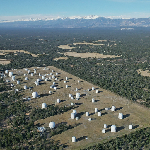
In regions prone to earthquakes, seismic sensors are deployed to detect early tremors. Japan's Earthquake Early Warning (EEW) system is a prime example, providing real-time alerts to citizens via smartphones, TV broadcasts, and public announcement systems. These warnings, even if only a few seconds in advance, can save lives by allowing people to take cover or halt critical operations.
The below image shows a network of seismic sensors spread across a region, working together to monitor earthquake activity.
Drones and Robotics
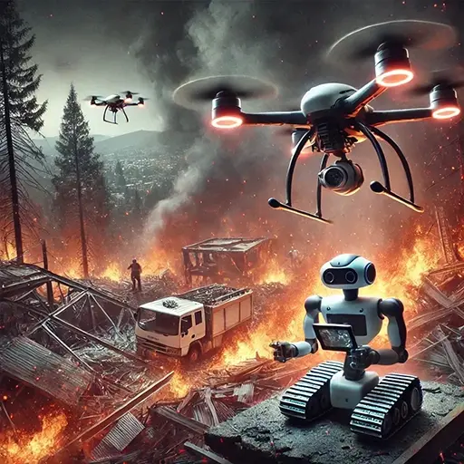
Drones and robotics have emerged as valuable tools in disaster management. Equipped with high-resolution cameras and sensors, drones can quickly assess disaster-stricken areas, providing real-time data to emergency responders. They can access remote or hazardous locations, deliver supplies, and conduct search-and-rescue missions.
In wildfire management, drones equipped with infrared sensors can detect hotspots and monitor fire spread, aiding firefighters in their efforts to contain the blaze. Additionally, autonomous robots are being developed to navigate dangerous environments, such as collapsed buildings after an earthquake, to locate and assist trapped survivors.
Geographic Information Systems (GIS)
Geographic Information Systems (GIS) have revolutionized disaster planning and response by providing detailed spatial data and analysis. GIS technology enables authorities to map vulnerable areas, assess risk, and develop evacuation plans. During a disaster, GIS can track the movement of a hurricane or flood, helping responders allocate resources effectively.
For instance, during Hurricane Harvey in 2017, GIS was used to map flooded areas in real time, allowing rescue teams to prioritize areas in need of immediate assistance. By integrating GIS with social media data, authorities can also gain insights into public sentiment and needs, improving communication and coordination.
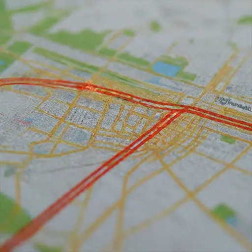
A GIS map of a city with evacuation routes highlighted in the below image.
Artificial Intelligence and Big Data
Artificial Intelligence (AI) and Big Data analytics are transforming disaster management by processing vast amounts of information to identify patterns and trends. AI-powered algorithms can analyze historical data to predict the likelihood of future disasters, aiding in risk assessment and resource allocation.
For instance, machine learning models can predict the path and intensity of hurricanes by analyzing atmospheric conditions and historical storm data. Similarly, AI can optimize emergency response efforts by analyzing data from social media, news reports, and emergency calls to identify areas with the greatest need.
Climate Monitoring and Modeling
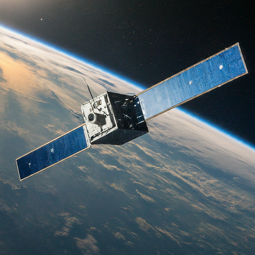
Climate change has intensified the frequency and severity of natural calamities. Advanced climate monitoring and modeling technologies are crucial for understanding these changes and developing mitigation strategies. Satellites equipped with climate sensors provide real-time data on temperature, humidity, and atmospheric conditions, enabling scientists to monitor climate trends and assess risks.
Climate models simulate future scenarios, helping policymakers and planners develop strategies to adapt to changing conditions. By understanding the potential impacts of climate change, communities can implement measures to reduce vulnerability and enhance resilience.
Conclusion
As the threat of natural calamities continues to grow, technological advancements offer a beacon of hope for a safer future. Early warning systems, drones, GIS, AI, and climate monitoring technologies are revolutionizing disaster management, improving preparedness, response, and recovery efforts. By harnessing the power of innovation, we can mitigate the impact of natural disasters and build resilient communities capable of facing future challenges.
Embracing these technologies requires collaboration between governments, organizations, and individuals to ensure that communities worldwide are equipped to withstand the challenges posed by natural calamities. As we continue to push the boundaries of technology, we move closer to a world where the devastating effects of natural disasters are minimized, and human lives are better protected.

